


Answer
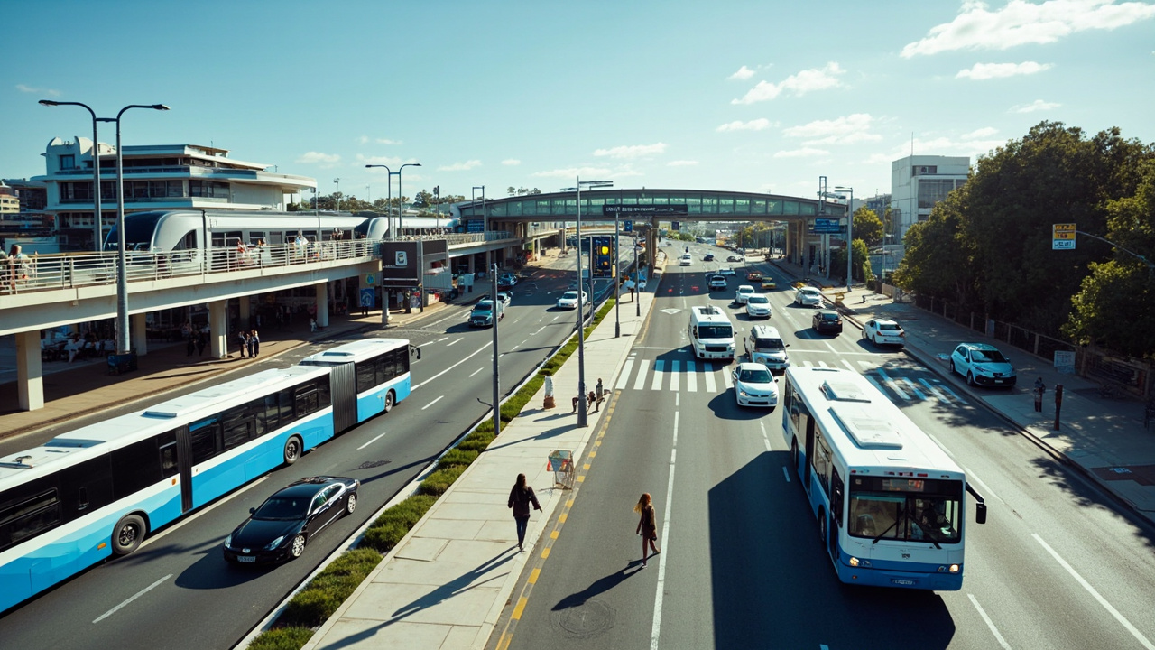
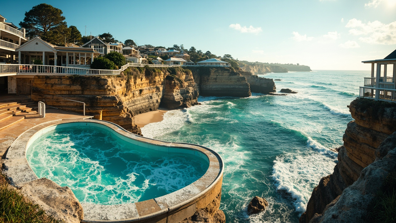
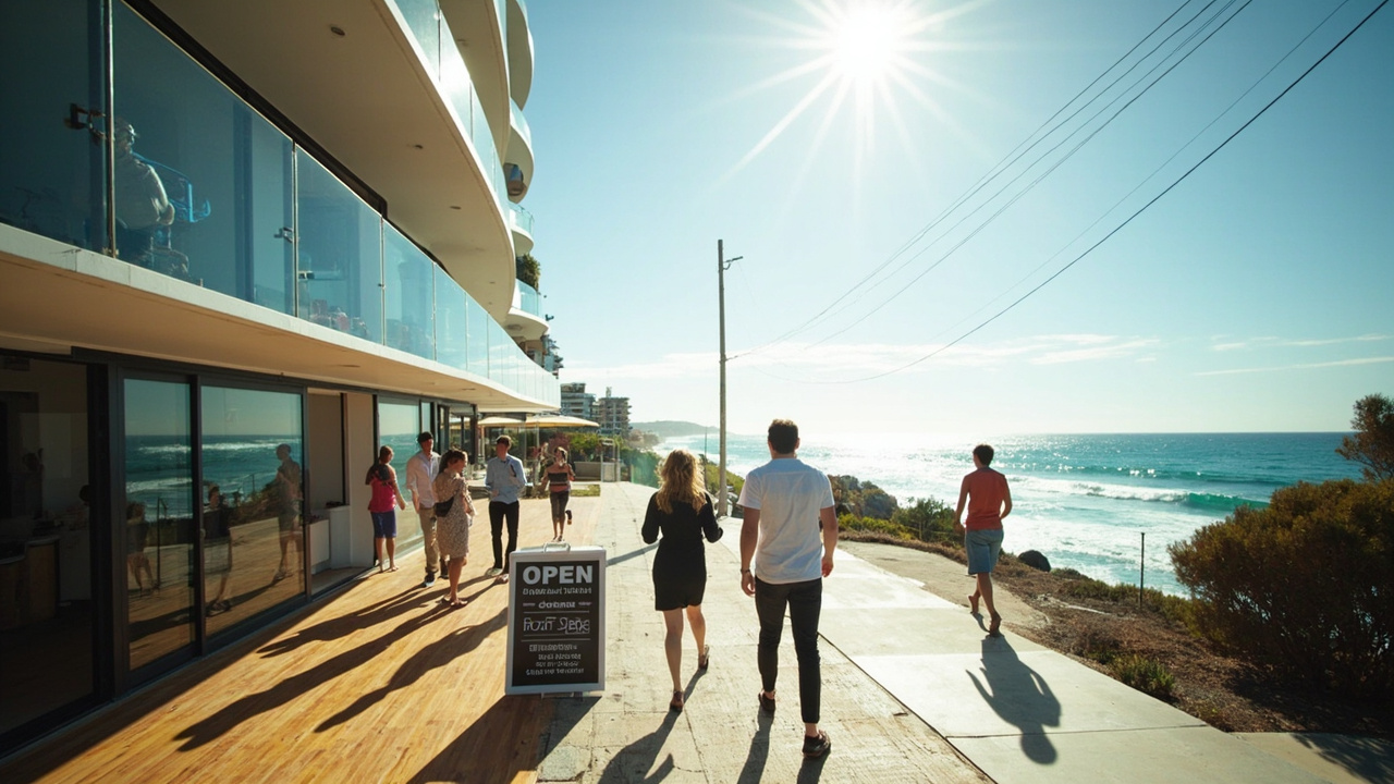
Transport Guidelines for Bondi, Sydney's Eastern Suburbs 1. Public Transport Options - Buses: Extensive bus network with key routes like 333 and 380 from the CBD to Bondi Beach, and connections to Coogee and Maroubra. - Train Services: Closest station is Bondi Junction, accessible via a short bus ride or walk, connecting to the T4 line. - Light Rail: New L2 and L3 lines connect to Moore Park and Randwick from Bondi Junction. 2. Road Connectivity - Major Roads: Bondi is along Oxford Street and New South Head Road, providing access to the CBD. - Traffic Congestion: Expect congestion during peak hours and weekends. 3. Parking - Street Parking: Limited and may have time restrictions. - Parking Stations: Available near Bondi Beach and at Bondi Junction for longer stays. 4. Cycling & Walking - Cycling: Limited dedicated lanes; cyclists should share the road. - Walking: Scenic locations like the Bondi to Coogee Coastal Walk for beautiful views. 5. Ferries - Watsons Bay Ferry: Nearby access to Circular Quay, but Bondi does not have a ferry service. 6. Ride-Sharing and Taxis - Availability: Uber and traditional taxi services are accessible in Bondi. This transport guide is designed to enhance your experience in Bondi! If you have specific questions about transport in Bondi, feel free to ask! 🚍🏖️